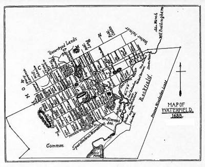
1638 MAP OF WATERFIELD
(WINCHESTER WOBURN
Point and click on map to enlarge
This map was constructed by the late George
Cooke and George T. Littlefield of Winchester and is designed to show "the
approximate location in 1638" of the lots in Woburn and Winchester which
had been granted to the inhabitants of Charlestown. The descriptions of the
lots, from which the compilers prepared their map, were taken from the
Source:
Abstracts
of Wills of Early