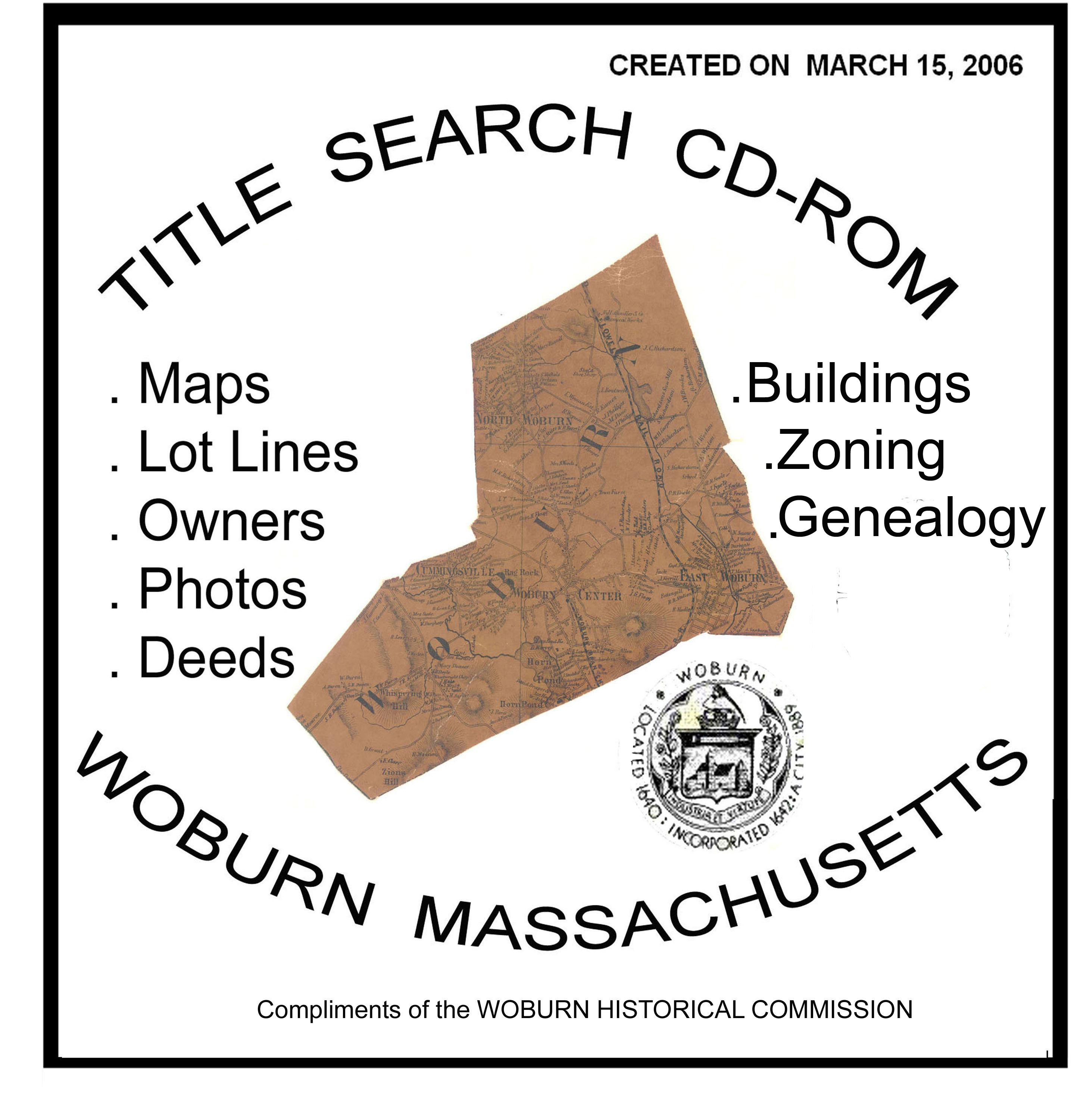
TITLE SEARCH CD-ROM for WOBURN MASSACHUSETTS
Includes Historic Maps, Insurance Maps, Old zoning Maps & Laws and Others
This CD-ROM is useful for Property Title Searches. It contains images and indices for Historical and recent specilized maps of Woburn Massachusetts. These inturn show the footprints of buildings, lot lines and the names of parcel owners. In addition there are links to The Regisrty of Deeds and the City's Assessor Data and house photos.
To view this data, you will need to have a web browser (such as MS EXPLORER, or Netscape NAVIGATOR) and ADOBE READER installed on your computer. If your computer lacks ADOBE READER, please download it from the ADOBE website before proceeding.
Choose by clicking on the links below:
- Master Index of Maps and Streets - This is a Master Index table for all maps (1875-2005) and all streets in the City of woburn, including the sanborn Insurance Map. This table contains All the other maps shown below. It is the only link you need to do complete map research.
- Recent (2005) City Map - Grided touch map and street index of modern Woburn showing all street layouts, lot lines, house footprints, easements, zoning classifications, and measured distances. The source of this data is the Woburn City Engineers's Office.
- OLD MAPS - Menu of Historic maps from 1638 - 1906. These are taken from the Beers, Hopkins, and Walker Atlases for Middlesex County, and the 1883 Burleigh "bird's eye view" mural. They contain street layouts, lot lines, house foot prints, and the names of property owners. In the case of the Burleigh mural, a panorama drawing of whole buildings is shown. Note that some of these maps only cover part of the city. The sources for these maps are from private donors and from Libraries in Winchester, Lexington and Woburn.
- SANBORN-INSURANCE-MAPS (1888- 1947)
- OTHER ILLUSTRATIONS - Menu of old drawings, posters, and illustrations for localized estates, land companies, waterways, rail roads etc. Dates and narratives are provided where known. The sources for these items are from private donors and from the Massachusetts State House Library.
- MIDDLESEX CANAL LAND PARCELS TODAY
- PARCELS & PHOTOS property on South End RR Loop
- PAST ZONING MAPS AND LAWS (1926 - 1970)
HOUSE PHOTOS and PUBLIC RECORDS
If the information you are seeking cannot be found on this database, visit these other Woburn websites:
. WWW.WOBURNZONING.COM - Current Woburn Zoning Laws and Maps (searchable)
. WWW.WOBURNMAPS.COM - Complete collection of all known maps of Woburn past and present (searchable)
. WWW.WOBURNLAWS.COM - Current Municipal Codes for Woburn (searchable)
. WWW.YEOLDEWOBURN.NET - Woburn Genealogy Site (searchable)
Courtesy of the WOBURN HISTORICAL COMMISSION
Developed by

Walt Kearney, Founder